| WEATHER | EVENTS | MAPS | PICTURES | TIDES | REPORTS |
A service of Sunrise Industries International
--- Montauk NY 11954 ---
|
HOME HOTELS & MOTELS RECREATION FUN FOR KIDS RESTAURANTS REAL ESTATE STORES & SHOPS SERVICES MARINAS ENTERTAINMENT PARKS FACILITIES ORGANIZATIONS GOVERNMENT MORE >> Advertisment: - E-MAIL THIS PAGE - OUR SPONSORS - FREE LISTINGS - ADVERTISE HERE |
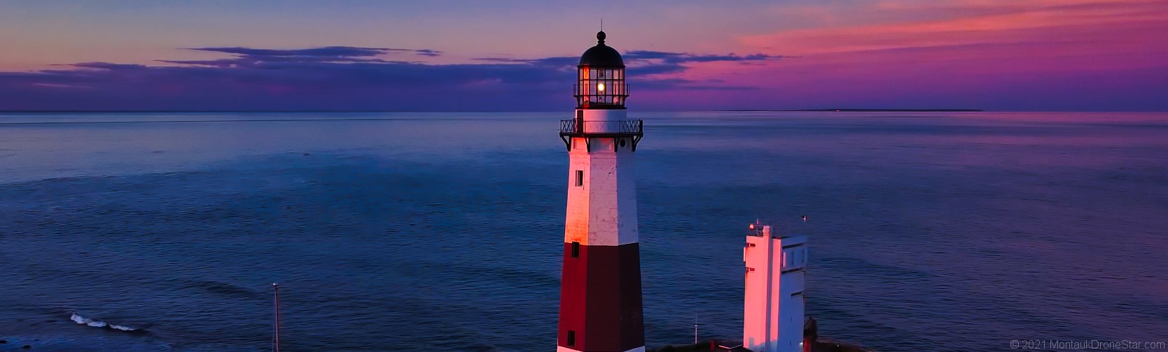
Montauk Surf Report
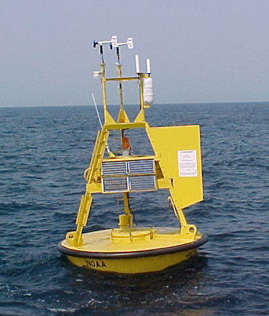
Description of Measurements
TERMS & CONDITIONS: Information provided on this page is intended for entertainment purposes only. By using this information you agree Sunrise Industries International shall not be held responsible for errors or inaccuracies contained herein, or any casualty, loss or damages resulting from any use of this information. |
||||||||||||||||||||||||||||||||||||||||||||||||||||||||||||||||||||||||||||||||||||||||||||||||||||||||||||||||||||||||||||||||||||||||||||||||||||||||||||||||||||||||||||||||||||||||||||||||||||||||||||||||||||||||||||||||||||||||||||||||||||||||||||||||||||||||||||||||||||||||||||||||||||||||||||||||||||||||||||||||||||||||||||||||||||||||||||||||||||||||||||||||||||||||||||||||||||||||||||||||||||||||||||||||||||||||||||||||||||||||||||||||||||||||||||||||||||||||||||||||||||||||||||||||||||||||||||||||||||||||||||||||||||||||||||||||||||||||||||||||||||||||||||||||||||||||||||||||||||||||||||||||||||||||||||||||||||||||||||||||||||||||||||||||||||||||||||||||||||||||||||||||||||||||||||||||||||||||||||||||||||||||||||||||||||||||||||||||||||||||||||||||||||||||||||||||||||||||||||||||||||||||||||||||||||||||||||||||||||||||||||||||||||||||||||||||||||||||||||||||||||||||||||||||||||||||||||||||||||||||||||||||||||||||||||||||||||||||||||||||||||||||||||||||||||||||||||||||||||||

 National Weather Service
Please E-MAIL us with any questions, comments or suggestions.
montauk weather || montauk tide tables || montauk events || montauk maps || montauk pictures
home || free listings || our sponsors || advertise here || e-mail